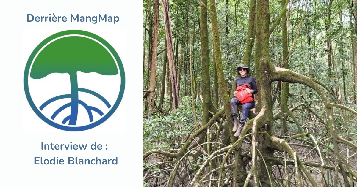
Behind MangMap, there is a team of researchers, engineers and specialists passionate about mangroves and the tools that help us better understand them. To introduce them to you, we are launching a series of portraits: in each article, a member of the team takes the floor, starting with Jean-François Faure. More encounters will follow soon.
The floor goes to Elodie Blanchard :
Can you introduce yourself in a few words: your background, your profession, and what you concretely do within MangMap?
I hold a PhD in tropical forest ecology and I am currently a research engineer at IRD, within the Espace-Dev research unit. My work focuses on the ecology and remote sensing of tropical forests, with particular expertise in mangroves. I am interested in their diversity, structure and functioning, as well as their dynamics over time and space. My approach is multi-scale, from the tree to the landscape, and combines field data, satellite imagery and modelling.
I joined the MangMap project in 2021, where I worked on the design and development of mangrove mapping and monitoring tools based on Earth observation data, in particular through the development, calibration and validation of methods and processing workflows. I also led the MangMap working group, bringing together mangrove and remote sensing experts, and contributed to gathering user needs and feedback, while progressively building a community around the platform. Today, I am part of MangMap's steering committee and continue to follow and support the project's new developments.
What led you to work on mangroves, or more broadly on environmental remote sensing?
My first encounter with mangroves happened somewhat by chance, during my Master’s internship with Christophe Proisy (IRD/UMR AMAP). I was fascinated by this ecosystem, and it was also during this period that I began working with remote sensing. I then continued my research on French Guiana's mangroves for two years, before moving away from them to pursue a PhD focused on the tropical rainforests of the South Pacific. I continued working more broadly on tropical forests for several years, before returning to mangroves. In the end, after this somewhat fortuitous first encounter, they became a real common thread throughout my scientific career.
What can MangMap do today that we couldn't do before?
One of MangMap's major strengths is that it offers an approach that complements platforms providing global mangrove maps. MangMap allows users to explore their own territories, use Sentinel-2 time series, and produce information tailored to their needs to monitor and better understand local mangrove dynamics. Beyond the tools it offers, MangMap also aims to bring together a community around mangrove monitoring using remote sensing, by encouraging the sharing of experiences and providing training.
What discovery or result has surprised you the most since you started working on this topic?
What has probably surprised me most is the remarkable dynamics of French Guiana's mangroves. We tend to think of forest as a relatively stable ecosystem that evolves slowly. Yet along the coast of French Guiana, it's quite the opposite: mangroves can colonise new areas very rapidly, grow and accumulate large amounts of carbon, only to disappear a few years later due to coastal erosion. Observing the scale and speed of these transformations, both in the field and through satellite images, is quite spectacular. This is also what makes monitoring them over time so important: a map at a single point in time is not really enough to understand how these ecosystems function.
Who is MangMap for, and who do you imagine using the platform in 10 years?
MangMap is aimed at a fairly broad community: scientists, students, protected area managers, public authorities, NGOs, and geomatics specialists working on mangroves and their monitoring. In ten years, I'd like the platform to have become a reference tool used directly in countries with mangroves, by those working on their management and conservation. The challenge is also to build a community of users able to take ownership of the tools, share their experiences and needs, and contribute to the platform's development. Training and skills transfer are, in my view, just as important as developing the platform itself.
If you had to explain the importance of mangroves to someone who had never heard of them, what would you say?
I really like this phrase from Minna Epps, published by IUCN in 2021: "Mangroves are superheroes." I think it sums up their importance very well. Mangroves are forests at the interface between land and sea that provide a combination of essential functions: they protect coastlines against extreme events, provide habitats and nursery grounds for remarkable biodiversity, and supply numerous resources to the communities that depend on them. They also play a major role in climate regulation thanks to the large amounts of carbon they store, both in their biomass and in their soils.
It's this combination that makes them so exceptional: protecting mangroves means supporting biodiversity, the climate and coastal communities all at once. To borrow a second phrase from Minna Epps, they are also "our roots of hope."
Do you have any scientific activities or projects outside of MangMap?
I am currently completing my contribution to the European Space Agency's (ESA) Coastal Blue Carbon project, in which I work specifically on the mangroves of the Guiana Shield. The aim is to map their habitats and carbon stocks, as well as to monitor their changes over time using satellite data.
I am also collaborating on the ANIMALS project (Artificial iNtellIgence for the mapping of MAngrove at Large Scale), funded by CNES under the TOSCA programme, which explores how artificial intelligence and satellite imagery can be used to map mangrove habitats and biomass on a large scale, across several tropical sites worldwide.
And for 2027, I am currently looking for new opportunities and collaborations that will allow me to continue my work on tropical forest ecology, remote sensing and, of course, mangroves!