Update :
From February 2025 onwards, Mangmap will change its method of retrieving Sentinel-2 images, which will affect the overall temporal synthesis of products generated by the platform. From now on, the platform will acquire L2A-level images via EODAG, within the Copernicus Data Space Ecosystem.
This correction is performed using the Sentinel-2 Atmospheric Correction tool, also known as Sen2Cor* (S2 Products Specification Document).
In the interests of data harmonization, all time syntheses produced by Mangmap will be recalculated by March 2025 using the L2A products supplied by ESA. In addition, future tiles will be produced using the same process, ensuring uniformity in the distribution of calculated data.
List of mangmap V2 modifications :
- Recovery of L2A products
- Improvements to overall platform ergonomics
- Creation of a user space to manage:
- these favorite mangrove geographical areas,
- calculation polygons & transects
- download history
- Limitation on polygons and transects per user
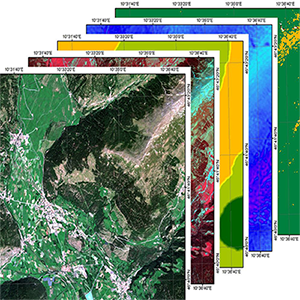
From the Sentinel2 L1C images downloaded every 5 days by the platform, L2A images are generated along with the associated cloud masks. The Sen2cor algorithm, developed by ESA, was used for this step.
Sen2Cor is a processor designed to generate and format level 2A products for Sentinel-2.
It performs atmospheric, topographic and cirrus correction on level 1C Top-Of-Atmosphere input data. It creates Bottom-Of-Atmosphere reflectance images, possibly with topography and cirrus correction. It also provides the optical thickness of aerosols, water vapour, the scene classification map and quality indicators for cloud and snow probabilities.
The output product format is equivalent to the level 1C user product: JPEG 2000 images, with three different resolutions (60, 20 and 10 m).
For further details, including installation steps and an overview of the evolutionary updates applied to Sen2Cor 2.10, please refer to the release notes provided at: https://step.esa.int/main/snap-supported-plugins/sen2cor/sen2cor-v2-10/
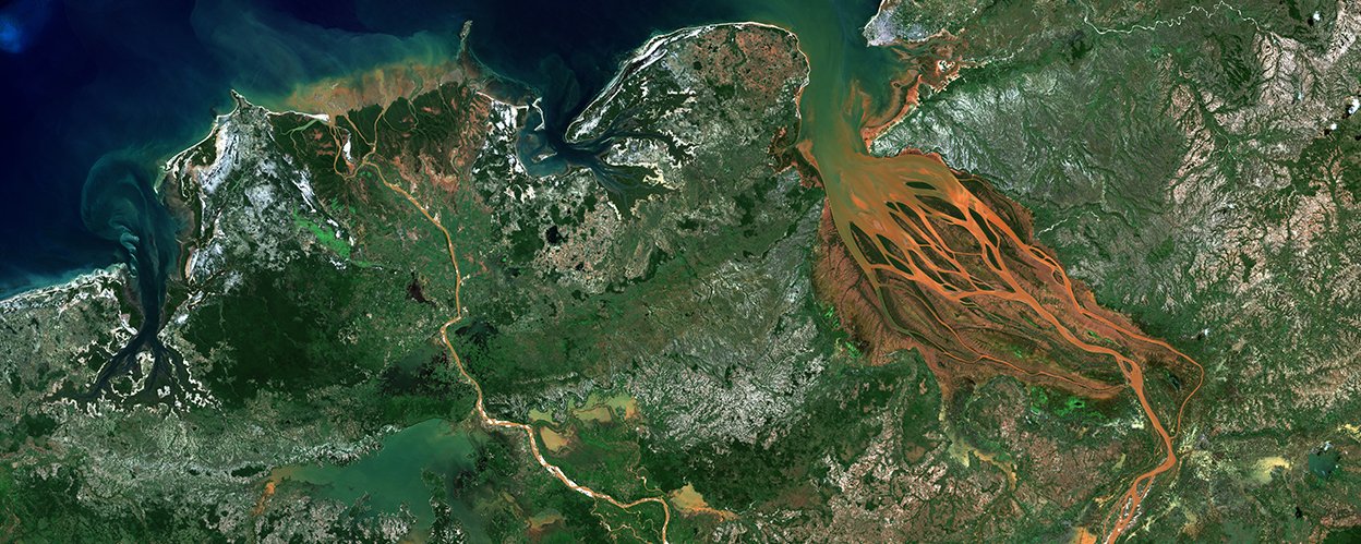
In the study area corresponding to the part of the coastline in the Sentinel2 image where mangroves are present, Sentinel2 level 2A images can be viewed and downloaded free of charge in TIF format. A Basket icon can be used to add the image product to the basket.
A Time silder bar at the bottom of the screen is used to navigate through the time series.