MangMap
Mangrove monitoring using spaceborn data
MangMap is opened in Demo mode in 6 study Sites
Last news
Our plateform
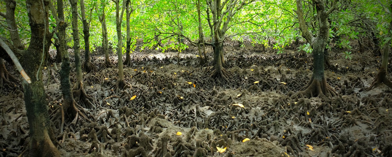
MangMap provides mangrove characterisation and monitoring products and services to scientists and institutional players working to preserve and enhance this ecosystem.
Using Copernicus satellite data, MangMap produces, catalogues and distributes sets of standardised, up-to-date environmental information on mangroves and their dynamics.
A conexion (using your Theia Land Data Center account) or the creation of a local account is necessary to access all MangMap services.
16
Coverage
42
Number of tiles
2018-2026
Time serie

Contact Us
Would you like to contact us to find out more about MangMap? Do you have a collaboration proposal? An interesting resource to pass on to us?